OFFICE HOURS
Mapping an Ancient World
Anthropology professor Travis Stanton is using modern technology to reveal lost Mesoamerican cities
By John Warren | Photos by Stan Lim
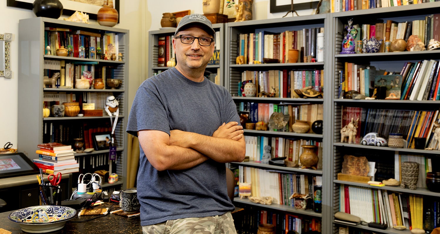
A nthropologist Travis Stanton harnesses a seeming superpower in his work studying the Maya who lived thousands of years ago. Flying high over the dense forests of the Yucatán Peninsula, he can look through the heavy canopy of trees to the forest floor below, glimpsing ruins lost to time.
That superpower is LiDAR (Light Detection and Ranging), a remote-sensing technology found in modern smartphones and autonomous vehicles — but also deployed from airplanes. By firing millions of invisible light pulses per second toward the ground and measuring the time it takes for them to bounce back, LiDAR creates detailed three-dimensional maps of hidden landscapes.
The technology allows Stanton to reconstruct digital maps of the stone step pyramids, elevated causeways, palaces, and monumental plazas across the northern lowlands, including Chichén Itzá, a highly important Maya metropolis.
“It’s a place of pilgrimage, like Mecca or the Vatican,” Stanton said of the famed pre-Columbian city.
Raw, high-altitude LiDAR images offer a broad overview of the forest floor. The difference between a LiDAR image and a processed high-resolution photograph is analogous to the difference between a dot-matrix and laser printer. LiDAR reveals large features; researchers then apply high-resolution processes or ground scans for detail.
The revelations from Stanton’s work are helping create the first detailed map of about 12 square miles of Chichén Itzá and its surrounding area. Mapping the site, Stanton said, will provide information beyond its physical structures. It will give researchers a greater understanding of the social, economic, and political dynamics across Mesoamerica, a massive historical region that includes much of present-day Mexico and Central America where ancient indigenous civilizations once thrived.
By counting the mounds on top of which homes were built, researchers can estimate populations. Tracing causeways reveals how cities expanded and traded. Mapping agricultural terraces, raised fields, and field boundaries reveals how the Maya fed their cities, while mapping sinkholes, or cenotes, illuminates how they stored and managed water.
LiDAR only came into widespread archaeological use within the past 15 years.
“We don’t know as much about this area as we should,” Stanton said of the Chichén Itzá region. “This lack of knowledge has held up research on Mesoamerica. We need an adequate map of this really important place. We have a great responsibility as researchers to do an adequate job with the narrative.”
One of the features Stanton is mapping is Sacbé 1 — the 33-foot-wide, 62-mile “White Road” that connected Yaxuná, a city near Chichén Itzá but 1,700 years older, with other Maya cities. The raised causeway was named for the white limestone plaster that coated the road, making it possible to navigate by moonlight.
Stanton’s LiDAR-based research has reshaped archaeologists’ understanding of this crucial thoroughfare. Previously, it was assumed Sacbé 1 was built in a straight line between the kingdom of Cobá and Yaxuná. But Stanton’s scans showed the causeway curves and swerves to incorporate pre-existing settlements. The new knowledge demonstrated that Cobá used the road to project political power into the Yucatán Peninsula.
As part of his landscape mapping, Stanton partners with the Cultural Heritage Engineering Initiative (CHEI) at UC San Diego. CHEI uses engineering, robotics, and virtual visualization to document and recreate historical sites and artifacts.
With CHEI, Stanton is working to create an interactive model of El Castillo, a Chichén Itzá pyramid with an interior temple that is no longer accessible to the public. Stanton and his colleagues have mapped the narrow, internal spaces inside the pyramid, including such fine details as tool marks and carved inscriptions. The end result will be a three-dimensional surrogate that the public can “tour” online.
“The streamable model will allow researchers and the public to access high-resolution images of the many sculptures that grace the monuments, and which are not accessible to visitors,” Stanton said. “People will be able to ‘walk through’ El Castillo with their web browsers.”