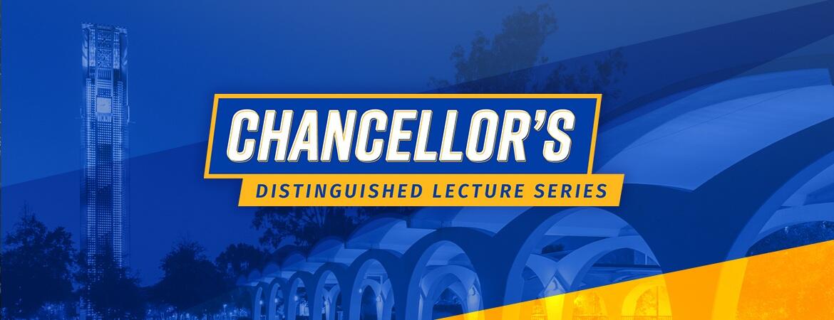

UC Riverside will host a Chancellor’s Distinguished Lecture on April 15 that brings together Chancellor S. Jack Hu and Esri founder Jack Dangermond, a global leader in GIS system innovations. The conversation will celebrate and strengthen a partnership between the two organizations that has helped shape how we see our world.

The public event at the University Theater starting at 2 p.m. will feature a conversation between Hu and Dangermond. It will be preceded by workshops highlighting GIS research and educational opportunities at UCR. Organizers say the summit reflects a shared ambition to position the Inland Empire as a global center for GIS innovation.
“This is much more than a lecture,” Hu said. “While Esri and UCR both rose to prominence at the same time, we are now strengthening our relationship to make the Inland Empire the world’s center for GIS innovation, education and application.”
The relationship between UCR and Esri traces back more than half a century.
While pursuing a master’s degree in geography at UCR in the early 1970s, David Nichols also worked for a small startup in nearby Redlands that was developing ways for computers to draw maps. The work involved running early mapping programs on UCR’s mainframe computer.

“It was a symbiotic relationship,” Nichols said. “The company got access to the computer, and UCR could use the software it developed.” Nichols served as the assistant director of Jet Propulsion Laboratory’s Engineering and Science Directorate before retiring in 2015.
The startup, founded in 1969 by Jack and Laura Dangermond, would become Environmental Systems Research Institute—now known as Esri. Since those early days of using computer time at UCR in the evenings, Esri has grown into a world leader in geographic information systems, or GIS, software. Its technology is used by governments, businesses, and researchers worldwide to analyze spatial data and guide decisions—from urban planning to disaster response, environmental management and public health, among many other applications.
Still headquartered in Redlands, Esri employs more than 5,000 people and operates more than 40 offices and research centers across four continents.
The April summit underscores how both institutions have evolved in tandem.
As Esri pioneered advances in GIS software, UCR expanded from a small agricultural research station into a major research university with strengths in the arts, humanities, sciences, engineering, medicine, and environmental studies. Enrollment has grown fivefold over that time to more than 27,000 students.
The partnership remains active and visible across campus.
About 190 UCR alumni now work at Esri, according to LinkedIn, and the company regularly hires between six and 12 UCR students as interns at any given time.
UCR also is expanding its academic offerings in the field. This year, the university launched a minor in Geospatial Analysis, with plans for a full interdisciplinary major pending approval.
On the research front, UCR’s School of Public Policy established the Center for Geospatial Sciences in 2017. It is led by Professor Tony Grubesic, who earlier in his career worked as an Esri software developer.
Grubesic, a federally certified drone pilot, studies how emerging data sources—including drone imagery—can be used for high-resolution mapping and urban analysis. He is an author of a book on the subject.
“Our research is as varied as it is collaborative, but the common thread is to find new ways to visualize increasingly available spatial data to better understand our world so we can build a better future,” Grubesic said.
The center’s interdisciplinary projects span public policy, health, and environmental challenges. Researchers have analyzed drug and human trafficking networks to improve detection strategies, optimized sensor placement in wastewater systems for better disease surveillance, and examined inequities in water and sewer rates across U.S. communities.
Other work includes analyzing nationwide emergency medical services data to better understand disparities in trauma care access, as well as modeling air pollution patterns using low-cost sensor networks.
The center’s work has even extended into popular culture. One project used network analysis to trace the evolution of “yacht rock,” identifying a core group of Los Angeles studio musicians who helped shape the genre and propel bands such as Toto and Steely Dan.
These modern applications highlight how far GIS has advanced since the early days when Nichols and others programmed maps using punched cards on UCR’s IBM 360/50 mainframe—a room-sized machine with less than a megabyte of memory.
At the time, programmers created maps using letters, numbers, and symbols, layer alphanumeric characters to create grayscales to simulate terrain and other features. The work supported projects such as planning an artificial island in Osaka Bay that would later become Kansai International Airport.
“The Geography Department supported Esri by having that equipment and people, including people like me, operating it and providing access to the computer center,” Nichols said. “And we benefited—the department gained access to all of the software that Jack and his team had developed.”
More than 50 years later, that early collaboration continues to evolve. Learn more about the science of GIS and its applications at the April 15 Chancellor's Distinguished Lecture Series: A Conversation with Jack Dangermond. And, earlier that day, hear from UCR faculty, researchers, and Esri experts about how GIS is shaping research, policy, science, engineering, and business, by attending “Mapping the Future: Geographic Information Systems (GIS) at UCR. ”