
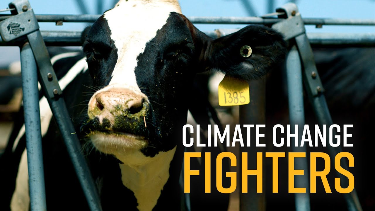
Dairy farms produce large amounts of two things: milk and poop. Milk finds its way into delicacies like hot cocoa and grilled cheese sandwiches but the poop just piles up.
Dairy farmers bulldoze the mess into artificial ponds called manure lagoons, where anaerobic microbes break it down into methane, a powerful greenhouse gas. Methane traps 80% more heat in the atmosphere than carbon dioxide, contributing to around one fourth of climate change to date. The cow digestive tract also produces methane and releases it when the cow burps.
About 50% of the methane that California emits comes from dairy farms. In order to meet strict climate goals, the state has proposed ways to regulate dairy methane emissions. But these efforts run up against a big problem: There isn’t currently a reliable way for dairy farmers to measure the amount of methane produced on their farm.

The amount of methane produced depends on the number of cows, their diet, the weather, and how wet the manure is stored. Estimates of how much methane a farm produces are therefore uncertain. Measurements made by satellite or aircraft return the most accurate estimates, but these tools are expensive and do not always work at the level of individual farms.
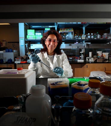
UC Riverside postdoctoral fellow Javier Gonzalez-Rocha wants to change that. He’s working with mechanical engineering professor Akula Venkatram and environmental sciences professor Francesca Hopkins to develop aerial robotic systems that can quantify methane emissions directly over a specific dairy facility.
To achieve this goal, Gonzalez-Rocha has developed a new method for extracting wind velocity estimates from disturbances to drone motion caused by wind. This algorithm has been adapted to a drone-based “air core” system developed by environmental engineering professor Don Collins and graduate student Zihan Zhu.
An air core is similar to an ice core, a plug of ice pulled from a glacier that can reveal changes in atmospheric composition over time. By combining wind velocity and air core measurement capabilities, drones can help detect, localize, and estimate methane emissions at fine spatial scales otherwise difficult to resolve using standard wind and air composition measurement techniques. The ability of drones to hover and maneuver in constrained environments, where it is difficult for conventional fixed-wing aircraft to operate, also provides new possibilities for obtaining targeted observations of greenhouse gasses in the lower atmosphere.
The work being led by Gonzalez-Rocha and Zhu will soon yield new findings addressing the reliability of drone-based atmospheric measurements in comparison to conventional wind and air composition sensors.
Gonzalez-Rocha is testing the drones at UCR’s agricultural operations site and at dairy farms in California, where he is using them to measure methane concentrations at different distances downwind from emission sources. Understanding how methane concentrations vary at differ downwind locations is critical for quantifying emission sources.
Although the techniques developed by Gonzalez-Rocha and Zhu are in their infancy stage, there remains a great potential for improving the accuracy of drone-based measurements. Ongoing work is exploring a multi-inlet air core system to sample air composition at multiple heights simultaneously as the drone moves across a methane plume. The researchers believe that they are on a course for farmers to use this technology within the next 5 to 10 years.
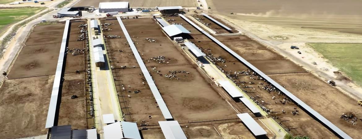
Header photo: Aerial view of a dairy farm in Southern California. (Taylor Ruthford/UCR)